
Cleburne Neighbor Sources
Public sources describe a Cleburne block in layers. The city map establishes street and municipal context. Johnson CAD relates a selected parcel to an owner, value, exemption, mailing address, and physical location when those fields are public. The County Clerk’s deeds and plats add the recorded lot, subdivision, and transfer history. Each layer has a different purpose, so no single search produces a roster of Cleburne neighbors.
| Source | Block-level information | Access |
|---|---|---|
| Cleburne interactive maps | Street geometry, selected municipal layers, address and district context | Public viewer, approximate boundaries |
| Johnson CAD | Parcel IDs, owners, mailing and property locations, values and exemptions | Free parcel search |
| County Clerk records | Deeds, plats, recorded transfers, and legal descriptions | Web, terminal, or copy request |
| VoteTexas | Individual registration status where lawfully public | Person lookup, not a block screen |
| Cityworks files | Released permit, inspection, notice, or case information tied to an address | Portal or focused public-information request |
An owner is not necessarily an occupant, and an owner’s mailing line may lead elsewhere. The public record supports a precise statement about the recorded relationship, not an assumption about who is at home on the block.
Cleburne Neighbor Map First
Use the City of Cleburne Maps page or the city’s Address Inquiry Tool to locate the target address and make the parcel boundaries legible. The city offers interactive maps, address inquiry, active-development information, and static map choices. Its own notice says boundaries and map data are approximate. They are not a survey or a legal description.
The map view is valuable before any name search because it reveals which parcels actually touch the target parcel or sit opposite its frontage. Save the street spelling, subdivision, lot or block description, and displayed parcel or geographic identifier. If an identify panel does not provide a neighbor function, manually select each adjoining parcel rather than guessing from a mailing line.
The municipal maps page is the source for the city’s viewer and address tools.
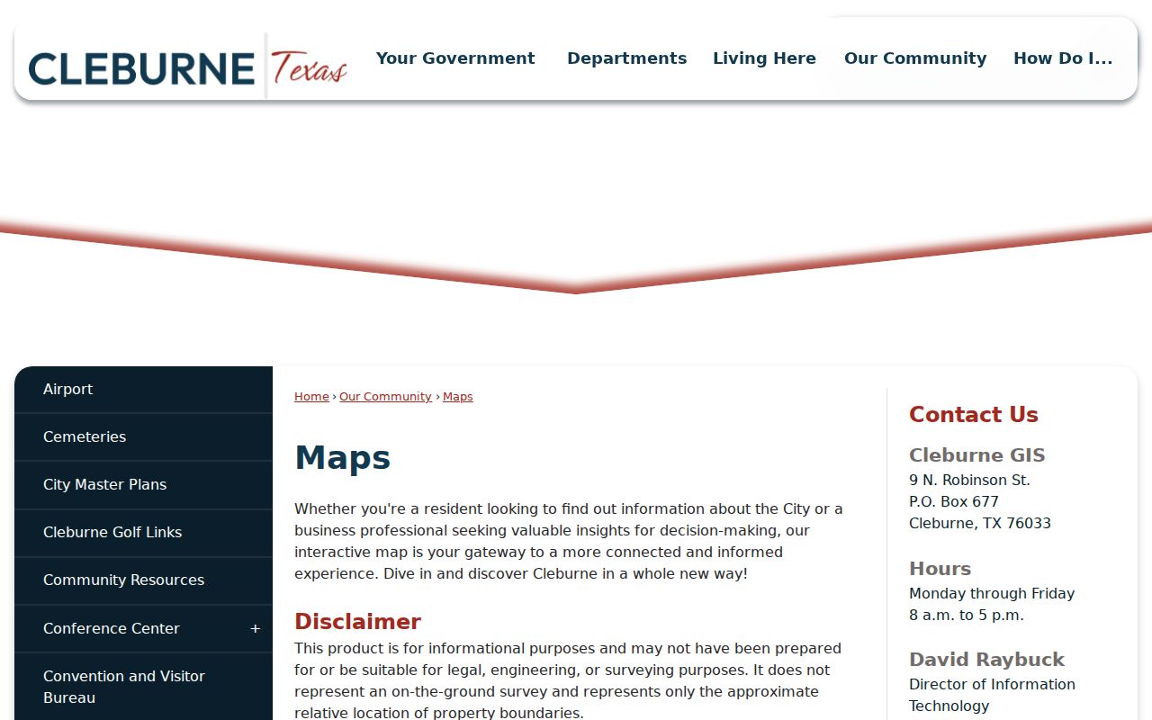
The map is a geographic starting point for Cleburne neighbors. Confirm any parcel relationship with the appraisal record, a plat, or a recorded instrument before treating it as final.
Cleburne Neighbor Parcel Trail
Once the map supplies a parcel, Johnson CAD is the next source. Its documented search fields include owner name, street number and street name, property ID, owner ID, geographic ID, property type, tax year, subdivision, neighborhood, condo, and abstract. JCAD suggests simplifying a failed address to the street name and using Advanced Search when a broad result needs narrowing.
A geographic or account ID is more stable than a street number. Preserve it with the legal description. Then use the County Clerk’s Official Records Search for the current owner as a grantee, the deed date, and the lot or subdivision. The online index is not the official repository and may contain statutory redactions, so a difficult title question belongs at the Historic Courthouse terminal or in a focused copy request.
- Parcel
- A mapped piece of land recorded in the appraisal and tax systems.
- Legal description
- The lot, block, subdivision, survey, or metes-and-bounds description used in a deed, not just a postal address.
- Situs address
- The physical location of the parcel. It is distinct from the owner’s mailing address.
Cleburne Neighbor Associations
Texas management certificates provide a narrow community layer for some Cleburne neighbors. The state search can be filtered for Cleburne and Johnson County. A certificate identifies an association and a management or contact route. It does not provide a member list or establish that a particular household belongs to an association.
| Belclaire and Cross Creek Estates | Listed in the Cleburne and Johnson County management-certificate inventory; use the state search for a current management route. |
|---|---|
| Community of Nolan River Estates and Lankford Farms | Association names surfaced by the certificate search, not as household directories. |
| Remington Ridge and The Retreat | Multiple Remington Ridge phases and The Retreat appear in the captured inventory. |
| Craftsman’s Corner, Mayfield Estates, and Legado | Certificate entries can identify an association contact, subject to the current state filing. |
The Texas HOA management-certificate search is the appropriate source for this limited contact purpose. For a community organization, use only a public contact page or public event record, not a request for private membership information.
Cleburne Neighbor Voter Limits
VoteTexas is an individual status lookup, not a public screen for all Cleburne neighbors on one block. Johnson County describes searches by VUID, Texas driver-license or ID number, or first and last name with county and date of birth. A public result may supply status, precinct, polling place, or address-related information, but exact display fields can change and protected addresses are withheld.
Texas Election Code section 18.066 permits a statewide voter-list request subject to its affidavit and actual reproduction cost. The request excludes Social Security numbers and protected addresses, and it cannot be used to advertise or promote commercial products or services. A person found in voter data is one registered voter at a point in time, not proof of every neighbor or every person at the address.
Cleburne Neighbor Mapping Steps
The adjacent-parcel method keeps a neighbor question tied to a real block. It is safer than searching names first, because the geographic relationship can be checked before any record is interpreted.
- Enter the target address in the city map or Address Inquiry Tool, then note the displayed parcel, account, or geographic identifier.
- Select parcels that share a boundary or sit directly across the street. Record the situs address, lot or block, and any public map layer that matters.
- Search each selected parcel in JCAD, preserving owner, mailing address, property location, and exemption fields as separate facts.
- Confirm the legal relationship through a plat or County Clerk deed search. For a longer named-street chain, use the Cleburne street directory rather than expanding a block map into unsupported claims.
Do not merge two parcels merely because their addresses look alike. If city and county results conflict, compare the legal description, subdivision, and neighboring parcel numbers before proceeding.
Cleburne Neighbor Community Memory
Records for a Cleburne block can also preserve community history without identifying a current household. The city’s cemetery system includes Memorial, Rosehill, Greenlawn, and Chambers. Chambers presents a distinctive documentation gap: when the city acquired it in 1964, no sales records, deed records, maps, or ledgers accompanied the property. Later Dallas College work used LIDAR, ground-penetrating radar, drones, GPS, and GIS to locate possible unmarked graves.
That comparison is a useful caution for any Cleburne neighbor search. Map evidence, newspapers, a cemetery reference, and a recorded deed can each fill part of a historical picture, but none should be stretched into a present-day residence claim. The city cemetery information is a place to verify what the city documents and what it cannot verify.
Cleburne Neighbor Permit Clues
Address-keyed permits and code records can add dates and project context around a block. Cleburne Building Inspections uses Cityworks for applications, payments, status, and inspections. Publicly released files can connect an address to a permit type, applicant or contractor, construction activity, and inspection timing. The static city page does not promise a historical searchable archive.
Code Compliance begins with an address and description. Its underlying file may show a notice, inspection, closure, citation, abatement, or lien only when the relevant record is released. A complaint is an allegation until resolved. For an older address file, make a narrow request to the city for a named permit, case, or date range under the Texas Public Information Act rather than asking for a generalized neighborhood file.
| Official record | Best use | Key limitation |
|---|---|---|
| GIS and appraisal record | Locate parcel and ownership context | No complete occupant list |
| Deed or plat | Confirm lot, subdivision, and transfer relationship | May require terminal or copy request |
| Cityworks file | Date a project or notice at an address | Historic search scope is not stated |
| Commercial neighbor product | Unverified lead only | May be stale, duplicated, or of unknown source |
Cleburne Neighbor Lookup Limits
Some Cleburne neighbors will not appear in a public map, parcel, or voter result. Nonowners, children, guests, unregistered voters, protected voters, and people in the Texas Address Confidentiality Program may be absent. Utility and delivery records are not general public directories. The Texas program provides an eligible participant a substitute address and mail forwarding, and its protected address must never be reverse-engineered.
Official geographic records are more reliable than commercial products because they name the custodian and document the field. They still have limits. The city says its map boundaries are approximate, and the County Clerk warns that online images can be incomplete or redacted. A no-match is an absence of indexed evidence, not proof that no person is there.
Lawful use. Cleburne neighbor records are for personal, lawful research and local curiosity. Texas Penal Code sections 42.07 and 42.072 prohibit harassment and stalking; never use a map or record to watch, threaten, or harm another person.